What It Does
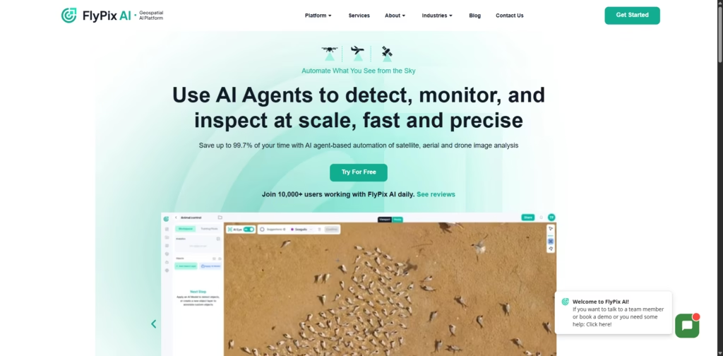
FlyPix AI is a cutting-edge geospatial AI platform that automates the detection, monitoring, and analysis of satellite, aerial, and drone imagery.
It saves up to 99.7% of the time spent on manual annotation, quickly identifying objects in complex, dense geospatial scenes, and providing actionable insights for diverse industries.
Key Features
- AI-Powered Image Analysis: Detect and outline objects in satellite, aerial, and drone images automatically.
- Custom AI Models: Train your own models with user-defined annotations coding, or deep AI knowledge required.
- Massive Time Savings: Reduce manual annotation from hours or days to just seconds.
- Industry-Specific Solutions: Adaptable for construction, agriculture, forestry, port operations, government, and more.
- Cloud-Based & Scalable: Cloud computing ensures fast processing without complex setups.
- User-Friendly Platform: Easy-to-navigate interface for professionals and teams.
- Trusted by Global Partners: Recognized by NVIDIA, Google, AWS, ESA BIC Hessen, and IBM for Startups.
Who Is FlyPix AI For?
- Construction & Infrastructure Teams: Automate site inspections and progress monitoring.
- Agriculture & Forestry: Monitor crops, forests, and land use efficiently.
- Port & Oil Operations: Track assets, logistics, and compliance in real time.
- Government & Smart City Planners: Manage land-use classification, urban planning, and environmental monitoring.
- Researchers & Environmentalists: Analyze aerial imagery for ecological and conservation projects.
Final Thoughts
FlyPix AI turns geospatial image analysis from a slow, manual task into a fast, automated process.
Its advanced AI, custom model training, and industry adaptability make it ideal for organizations that need precise, actionable insights from satellite, aerial, or drone imagery.
For anyone seeking to revolutionize geospatial workflows, FlyPix AI is a next-gen solution.


